Меню
The region is located east of the Aral Sea in the lower reaches of the Syr Darya River. The main part of the region’s territory is located within the Turan Lowland (height 50-200 m).
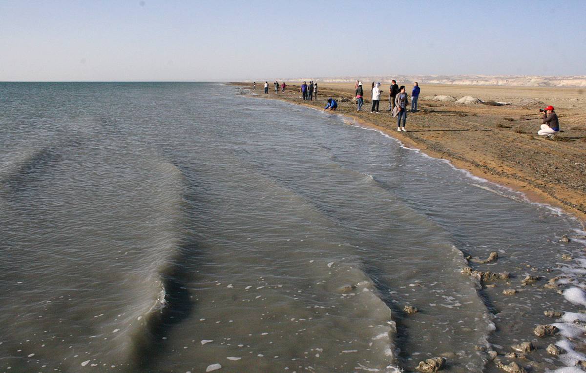
west of the region adjoins the Aral Sea
in the southeast - northwest spurs of the Karatau ridge and foothill plains
in the north-west - vast masses of tuberous sands of the Aral Karakum
Along the left bank of the Syrdarya - the vast expanses of hilly-ridge sands of Kyzylkum, cut through the dry channels of Zhanadarya and Kuandarya; on the right bank there are elevations (Yegizkara, 288 m), sections of sand (Aryskum, etc.), shallow hollows occupied by salt marshes. In the north - masses of tuberous sands (Small Barsuki and Aral Karakum). In the extreme south-east, the north-western spurs of the Karatau ridge (up to 1419 m) go into Kyzylorda region.
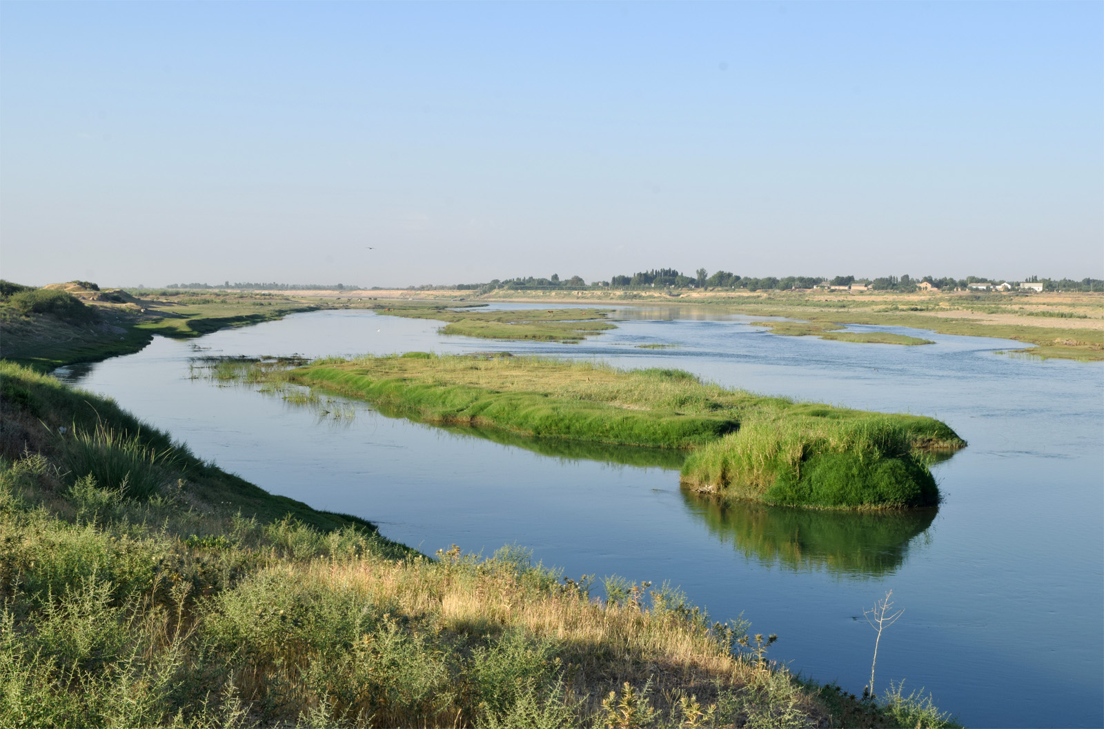
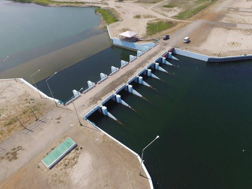
The only major river is the Syrdarya, flowing through the central part of the region from the southeast to the northwest for about 1 thousand km, with a strongly winding channel, many channels and branches, and an extensive marshy delta. To protect against floods, dams were built along the river banks; in 1956, the Kzyl-Orda Dam was built on the Syrdarya river; in 1958, river waters were passed along the Zhanadarya channel for irrigation of fields and irrigation of pastures.
There are many salt lakes (Zhaksykylysh, Kamyslybas, Arys, etc.), which often dry out by summer; in the lakes Kupek and Teresken - therapeutic mud. In the north-east, the lower reaches of the Sarysu River enter Kyzylorda region.
A significant part of the territory is occupied by sand, almost devoid of vegetation; on fixed sand, wormwood and fescue, solyanky vegetation, and in the spring and ephemeral on brown and gray earth sandy loamy and solonetzic soils; in depressions among the sands grow astragals, juzguns, and wheatgrass species. The lumpy sands are fixed by white saxaul, tamarisk, teresken, bijurgun, wormwood.
In the desert there are many predatory (corsac fox, wolf, etc.) and ungulates (saiga) animals, as well as rodents, birds (grouse, etc.), the muskrat is acclimatized in the Syrdarya delta.
The climate of Kyzylorda region is sharply continental with hot, dry, long summers and cold, short, little snowy winters. Such a climatic regime is determined by the location of the region inside the Eurasian continent, its southern position, the characteristics of the atmospheric circulation, the nature of the underlying surface, and other factors.
The continental climate is manifested in large fluctuations of meteorological elements, in their daily, monthly and annual variations.
Summer is hot and long. No sharp differences in temperatures were observed during this period. Everywhere, the average July temperature is 36-390 ° C. The absolute maximum temperature in the predominant part of the region is 44-480 ° C. In winter, the difference in temperatures between the north and south of the region is noticeable. For example, the average temperature of the coldest month - January is 35-360 C.
Openness to the north allows cold air masses to freely enter the territory of the region and cause a sharp cooling, especially in winter. The absolute minimum temperature reaches - 420 C.
Aridity is one of the hallmarks of the region's climate. Precipitation is very small. Their average annual amount does not exceed 100-190 mm and is distributed unevenly among the seasons: 60% of all precipitation falls on the winter-spring period.
The entire territory of the region is characterized by frequent and strong winds, mainly of the north-east direction. Their average annual speed ranges from 3.1 to 6.0 m / s. Strong winter winds at low temperatures blow off a slight snow cover from the elevated parts of the relief, which causes deep freezing and cracking of the upper layers of the soil. In summer, dust storms are observed.