The first ever topographic map of Kostanay has been discovered
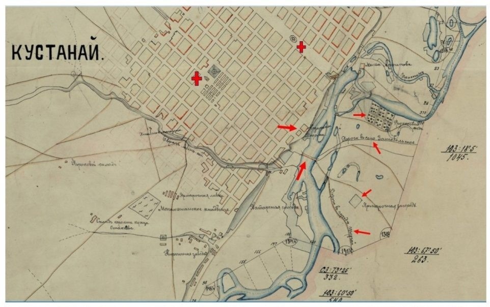
The first-ever topographic map of old Kostanay was discovered by researcher Almasbek Absadyk, Kostanay News reports. This map was compiled by order of the military governor of the Turgay region in 1895.
Most of the production facilities are located behind the Abil-sai and Urdabaysay logs. Behind them – Tatarskaya slobodka, brick factory, ammunition depot and kerosene merchant Stakhaev. On the north side of Urdabay there is the Lorets brewery, on the other side there is a slaughterhouse, the Iversky Convent, a tannery. There are many objects on the map that were not widely known before. For example, the old and new postal roads connecting Troitsk and Kostanay, lakes near the city and their natural state (wet or dry), the location of old mounds are indicated. Lakes with the now forgotten names of Maikumyr, Karakaska, Astau are indicated.
The map, as a valuable historical exhibit, was transferred to the Kostanay Regional Museum of Local Lore.